Complete guide to Martinique
Martinique stretches 80 km from north to south, but our English-speaking team based in Fort-de-France rarely takes less than ten days to help you truly understand it. In the north, Mount Pelée peaks at 1397 m and brings its rains to Macouba and Grand-Rivière, where tropical forest descends to the sea. This is the zone of Caravelle hiking trails, the family distilleries of Carbet, and Saint-Pierre, the former capital razed by the 1902 eruption, whose ruins can be visited in half a day.
The centre concentrates daily life around Fort-de-France Bay, from the covered market to the mangroves of Trois-Îlets. Further south, the terrain flattens and the light changes: Sainte-Anne, Le Marin and Sainte-Luce line up white sandy beaches, white seabeds where you walk in 1 m of water, and an anchorage that attracts international sailing. The Caravelle Peninsula, to the east, offers another face: dry savanna, wind-beaten cliffs, and a protected mangrove.
On the culinary side, expect goat colombo, Creole blood sausage, and a ti-punch served neat at 4pm. To properly size your stay, allow 7 days for the southern beaches, 10 to 12 days to combine north, centre and south, and 14 days if you want to add sailing to the islets of François.
The regions of Martinique
Each region has its own personality: climate, landscapes, pace of life and ways of traveling. Our local team helps you choose the combination that suits you.
North Caribbean
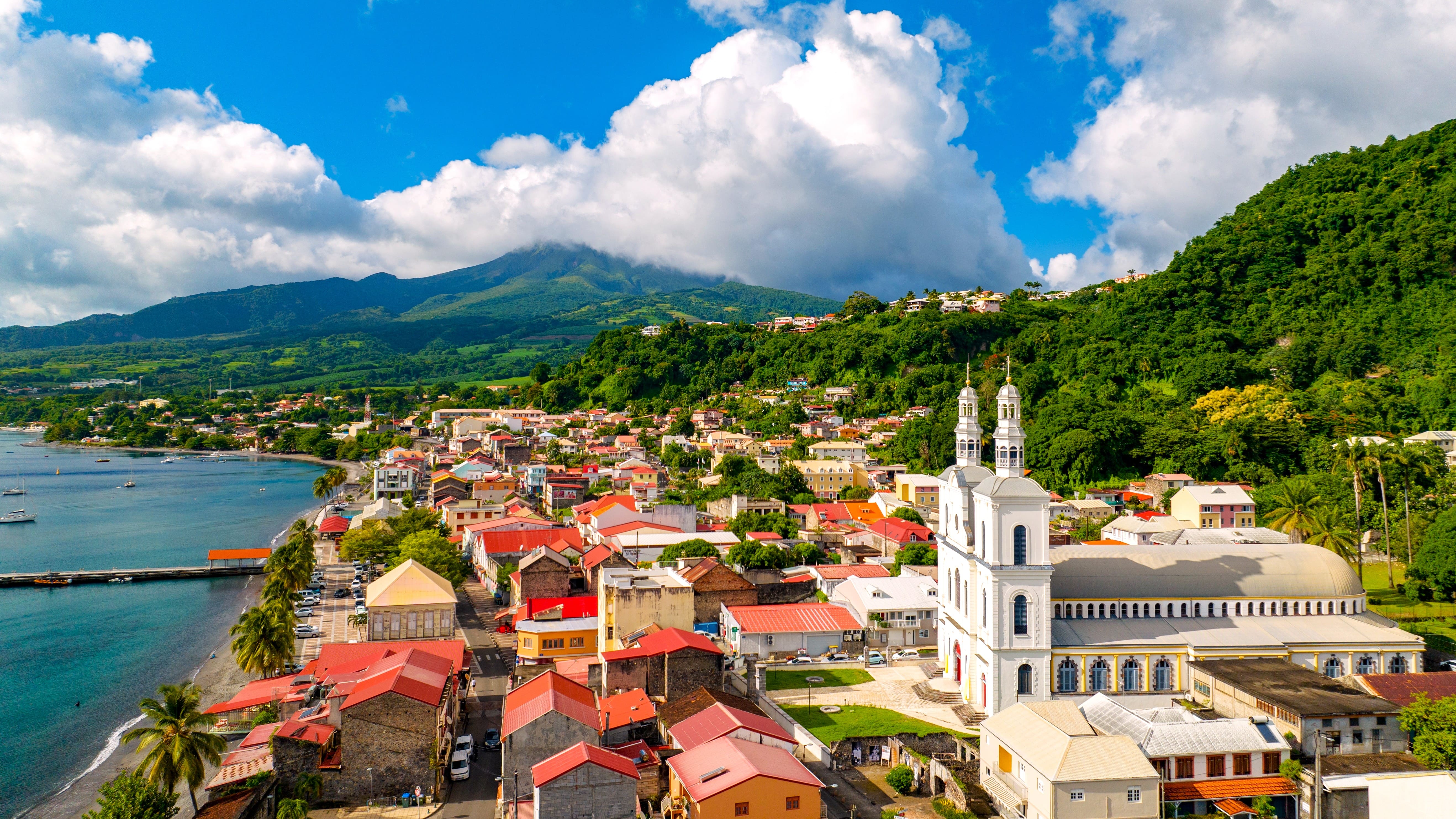
From Schœlcher to Grand-Rivière, the northern Caribbean coast features black sand beaches, distilleries and fishing villages. Saint-Pierre, dominated by Mount Pelée, preserves the memory of the 1902 eruption in the Frank Perret museum and theatre ruins. At Carbet, you skirt Anse Turin before heading up towards the Neisson and Depaz distilleries. At Grand-Rivière, the end of the road, you can board to reach Anse Couleuvre on foot or by fishing boat. Expect 25 to 28°C on the coast, but showers are frequent as soon as you climb towards the hills. Ideal for those who love hiking, history and agricultural rum.
North Atlantic
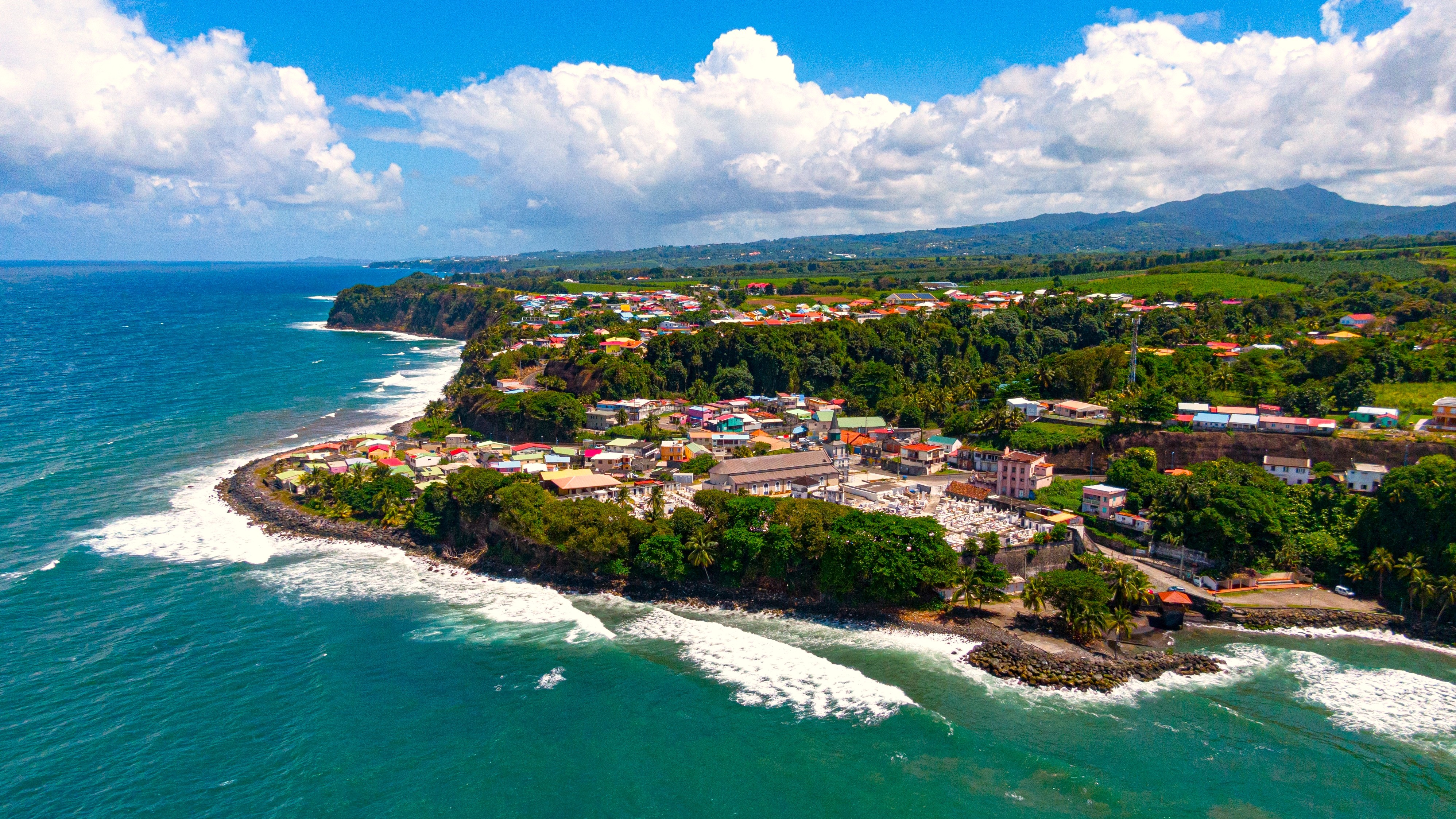
The northeast, from Basse-Pointe to Sainte-Marie, is the island's agricultural heartland: banana plantations stretching to the horizon, Creole estates, and ocean waves crashing against cliffs. The Saint-James distillery in Sainte-Marie and the Rum Museum offer a perfect introduction. Further north, the Caraïbes tomb and Crabière point provide open vistas. Surf enthusiasts head to Anse Bonneville. Windier climate than the Caribbean coast, with similar temperatures around 26°C. A region less frequented by tour groups, ideal for slowing down for two or three days.
Centre and Fort-de-France
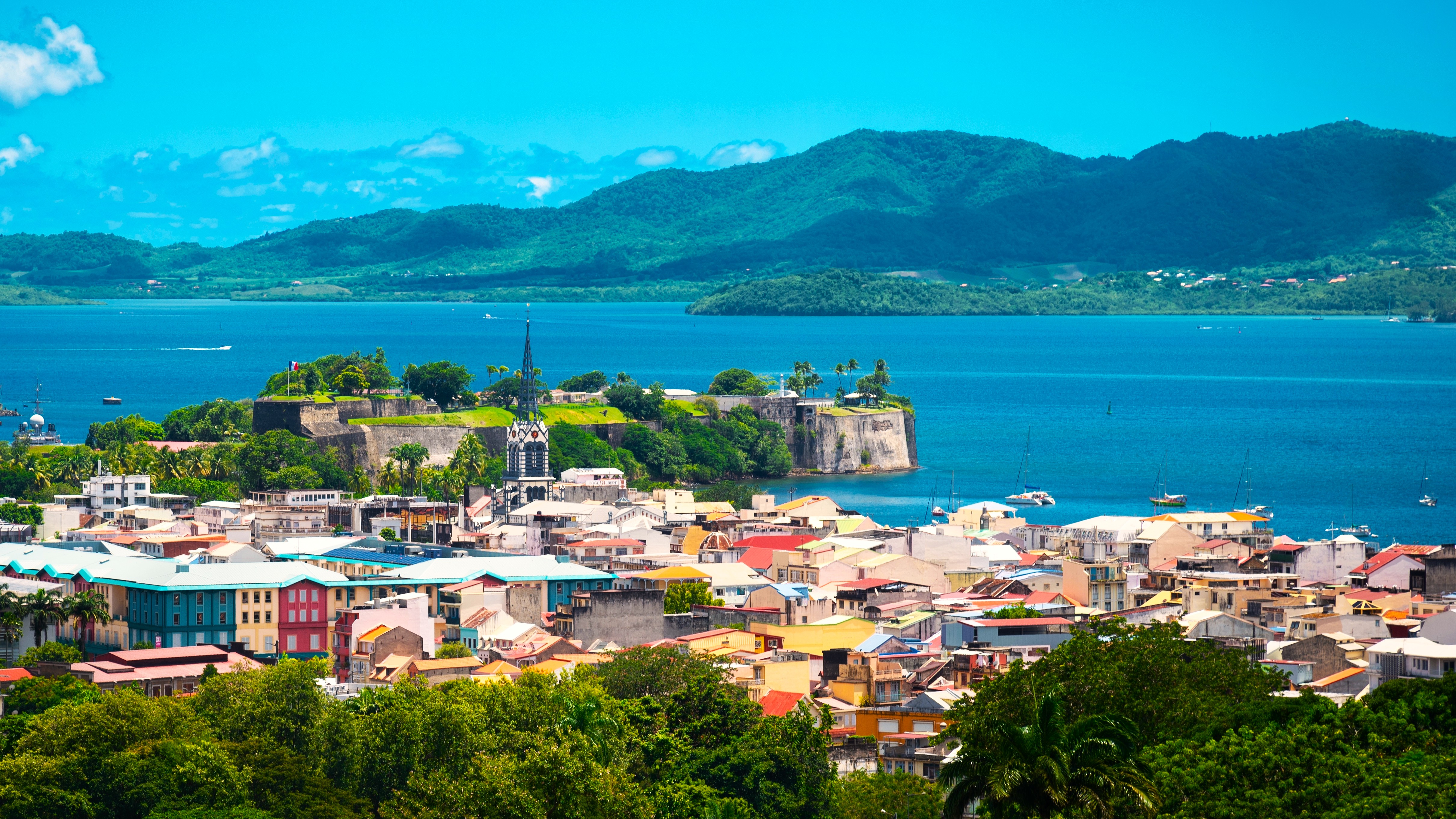
Our agency is based here in Fort-de-France, and we start most stays from here. The capital spans a few streets: covered market, Schœlcher Library, Fort Saint-Louis, cathedral. Across the bay, the Trois-Îlets bring together the Pagerie Museum, pottery workshops, and the ferry terminal for maritime shuttles. Morne Larcher and the Carbet peaks, which climb to 1196 m, offer hikes ranging from half-day to full-day excursions. Humid heat in the city, 28 to 30°C, cooler as soon as you go up. An excellent logistical base for exploring north and south.
Sunny Beach South
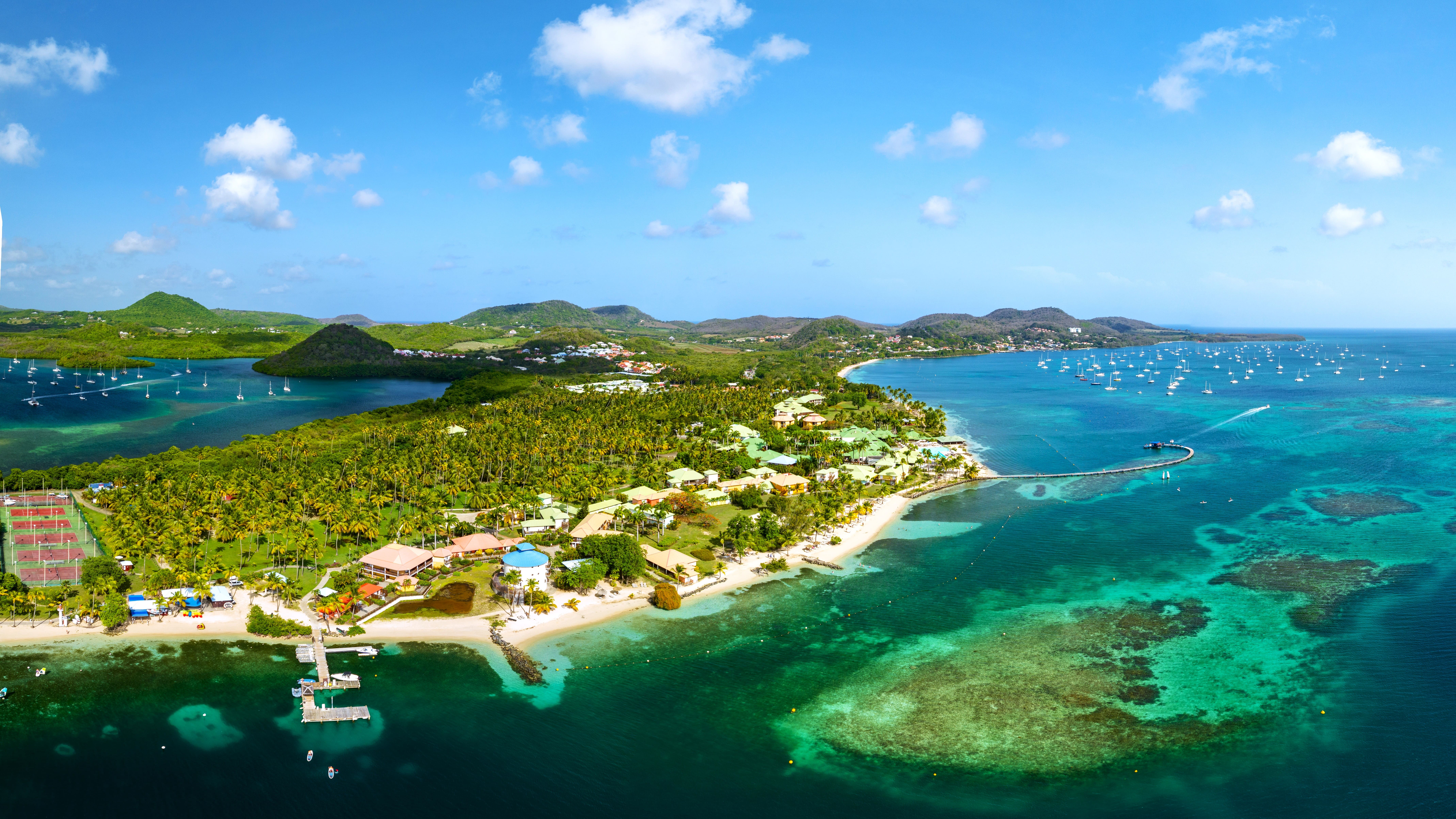
This is postcard-perfect Martinique: Anses-d'Arlet, Diamant, Sainte-Luce, Sainte-Anne, Salines. Les Salines remains the most renowned beach, 1 km of white sand and coconut palms—best visited early morning to avoid weekend crowds. At Petite Anse d'Arlet, you can swim with green sea turtles from the village pier. Diamant offers 3 km of beach facing the rock of the same name, with windier conditions. Stable temperatures around 28°C, sea at 27°C year-round, driest season from February to April. Ideal for a first week or family getaway.
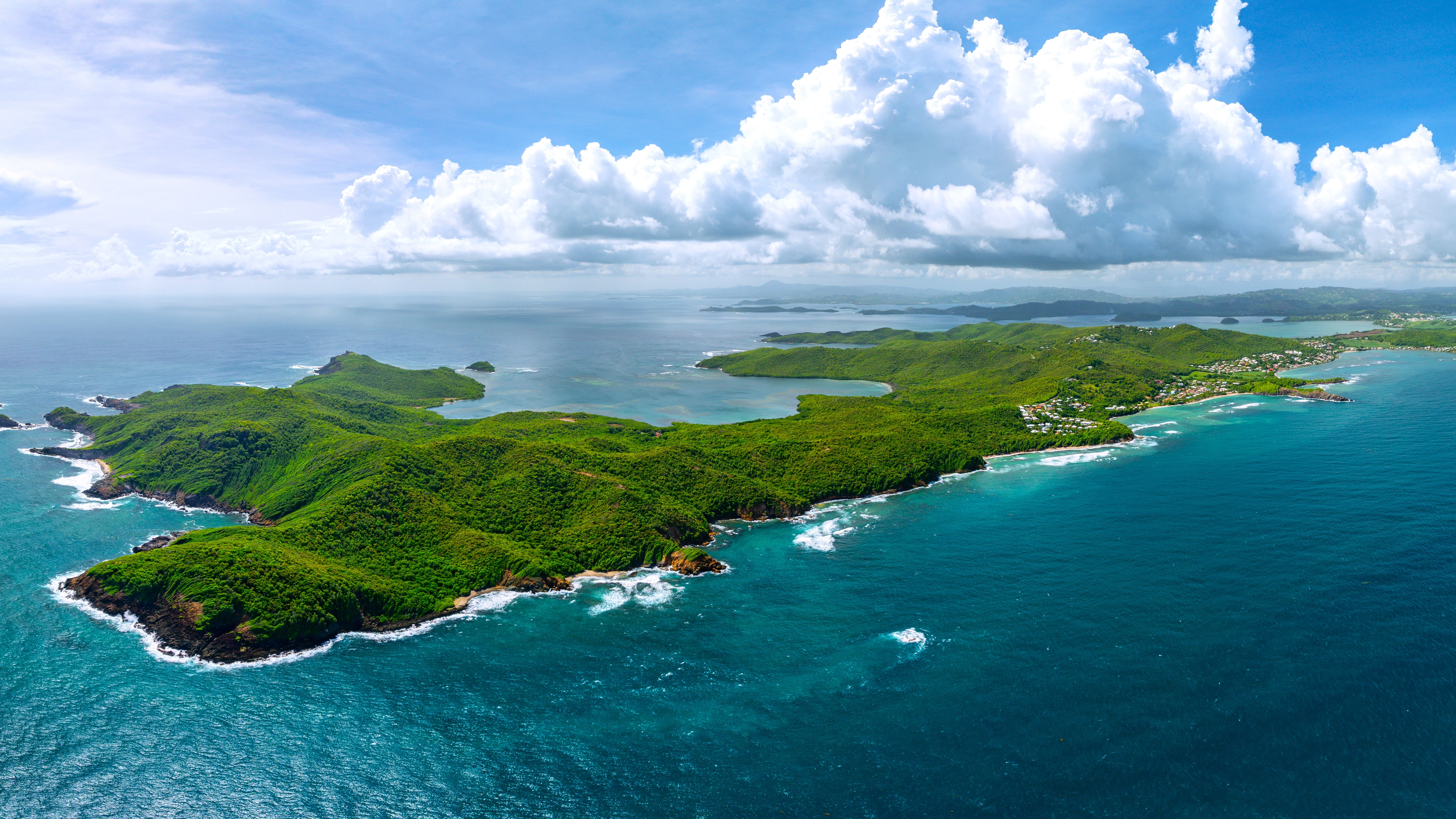
Caravelle Peninsula
This 12 km strip of land, east between La Trinité and Tartane, contrasts with the rest of the island. A classified natural reserve, it shelters dry savanna, mangroves and the Château Dubuc trail, ruins of an 18th-century sugar estate. The complete trail loop takes 3h30, passing by the lighthouse and cliffs battered by the Atlantic. In Tartane, a fishing village with fish market and simple restaurants where you can taste court-bouillon. A windy region, perfect for kitesurfing enthusiasts at Anse Michel. One to two nights are enough to fully soak in the area.
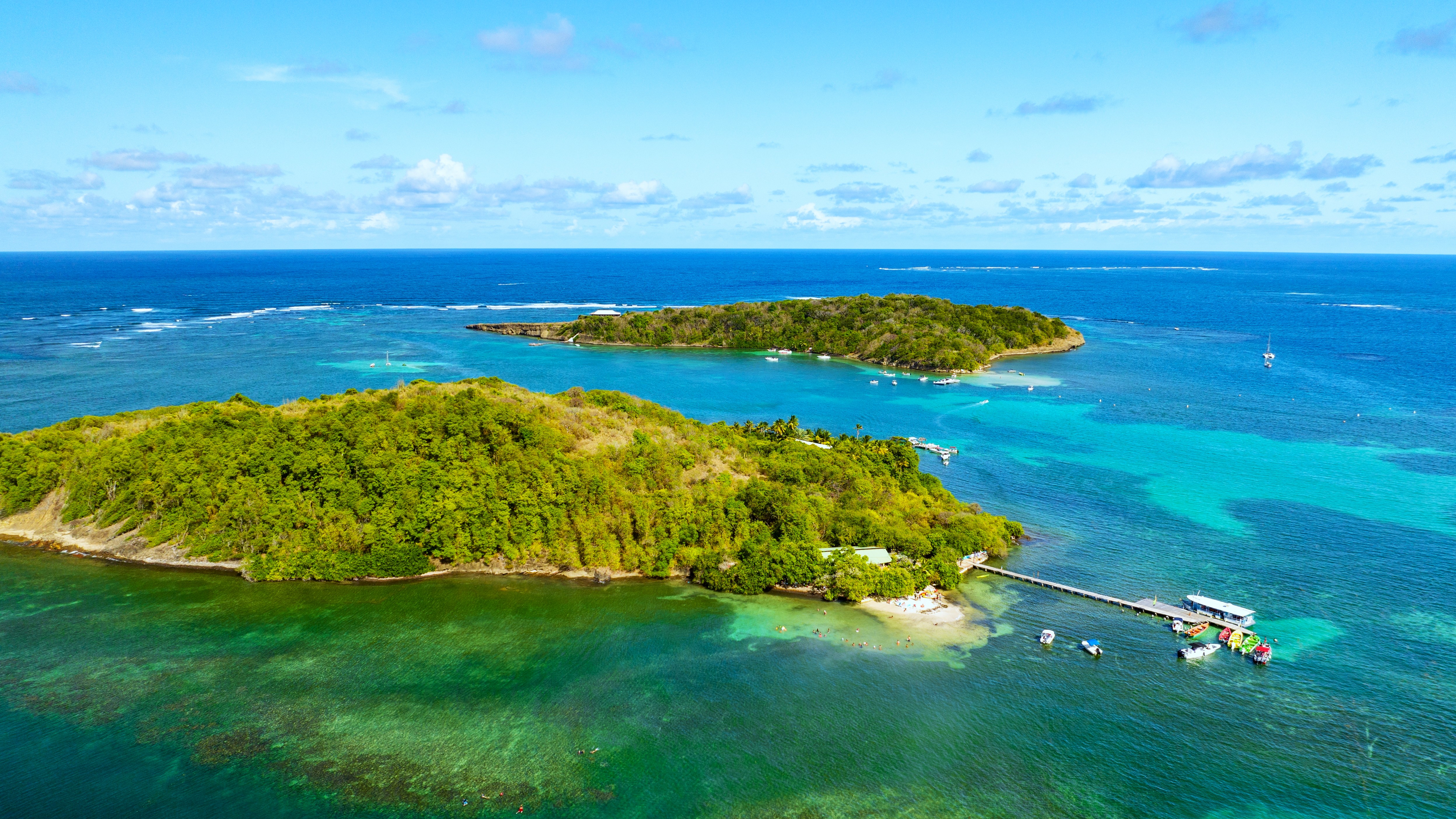
South Atlantic and white sand bottoms
From François to Vauclin, the coast is protected by a coral barrier that forms white sand banks, where you can swim in just 1 meter of water 3 km from shore. Joséphine's bathtub, accessible by yole from François, remains the classic stop on sea outings, ti-punch included. The islets of Oscar, Thierry and Chancel can be rented or visited for the day. Vauclin and Le Marin concentrate pleasure boating, with the Caribbean's largest marina. Constant trade winds, water at 27°C. Plan a full day for a white sand banks outing.
Explore by theme
Unique experiences tailored to every traveler.
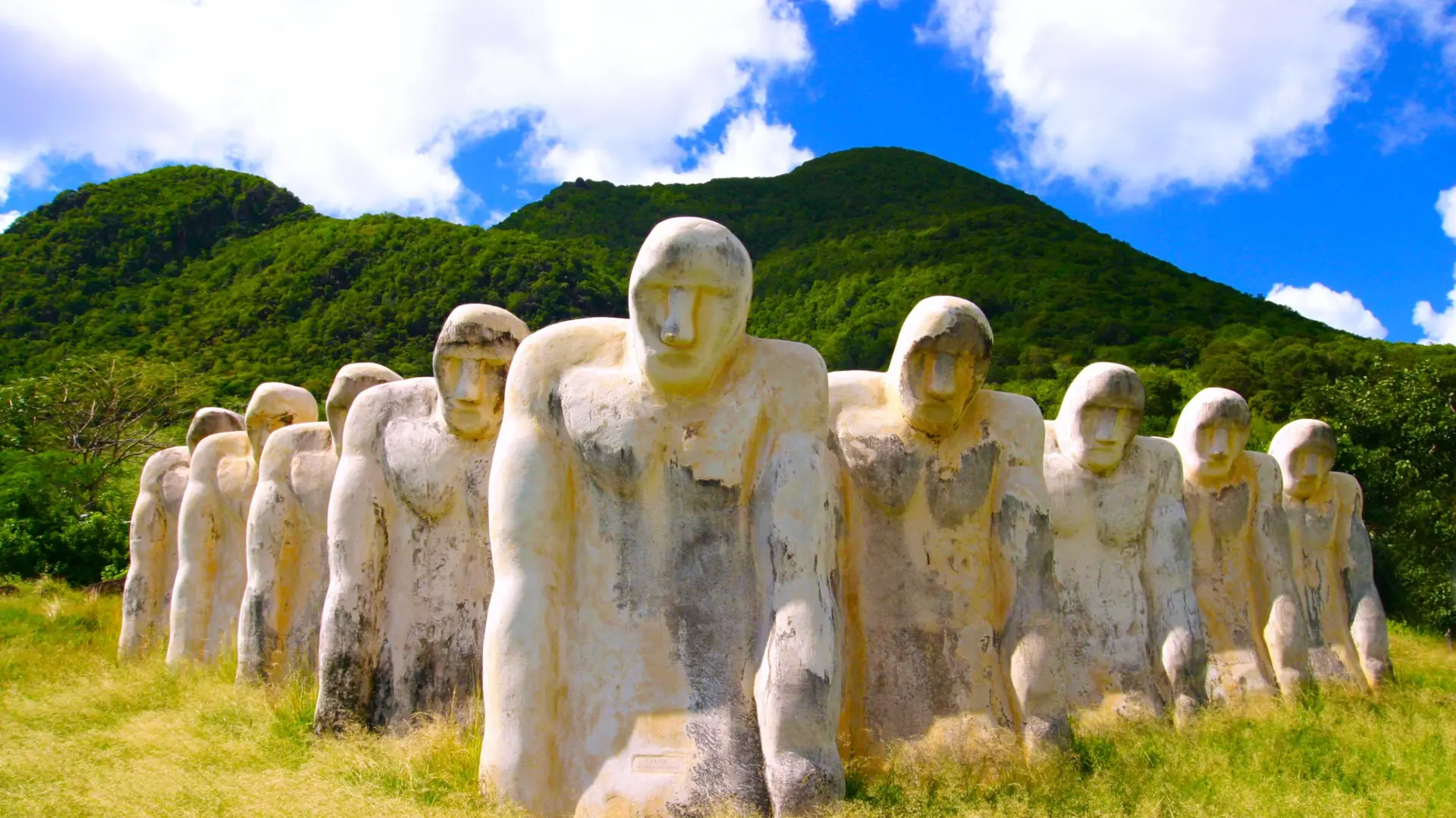
Culture & Heritage
Temples, musées, sites historiques
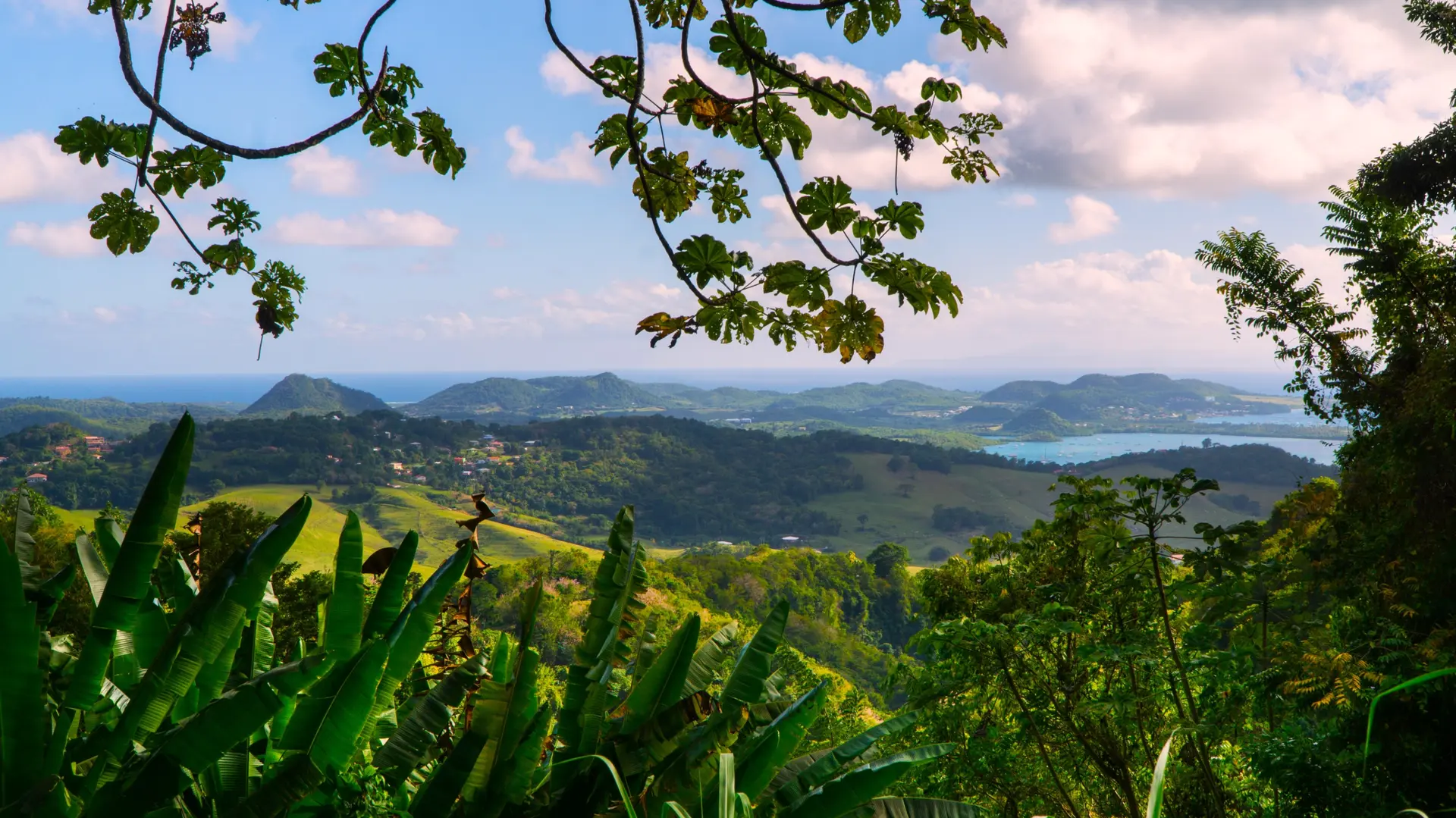
Nature & Landscapes
Parcs nationaux, montagnes, forêts
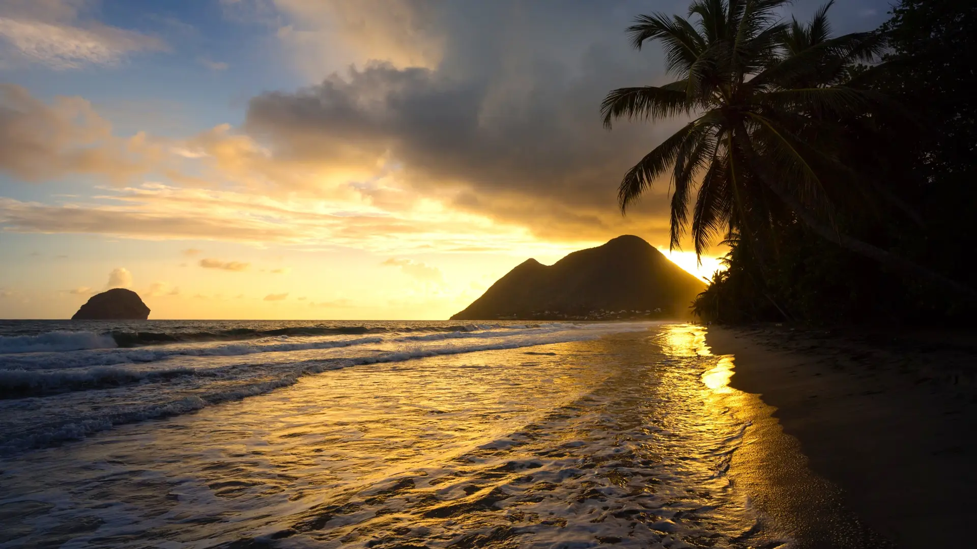
Sea & Beaches
Littoral, îles, sports nautiques
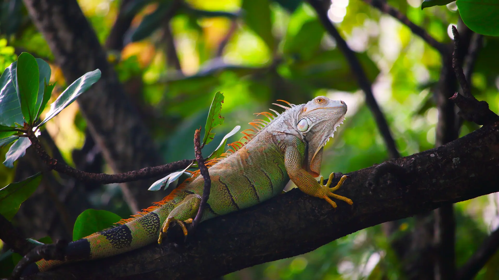
Wildlife & Biodiversity
Observation animale, sanctuaires, réserves
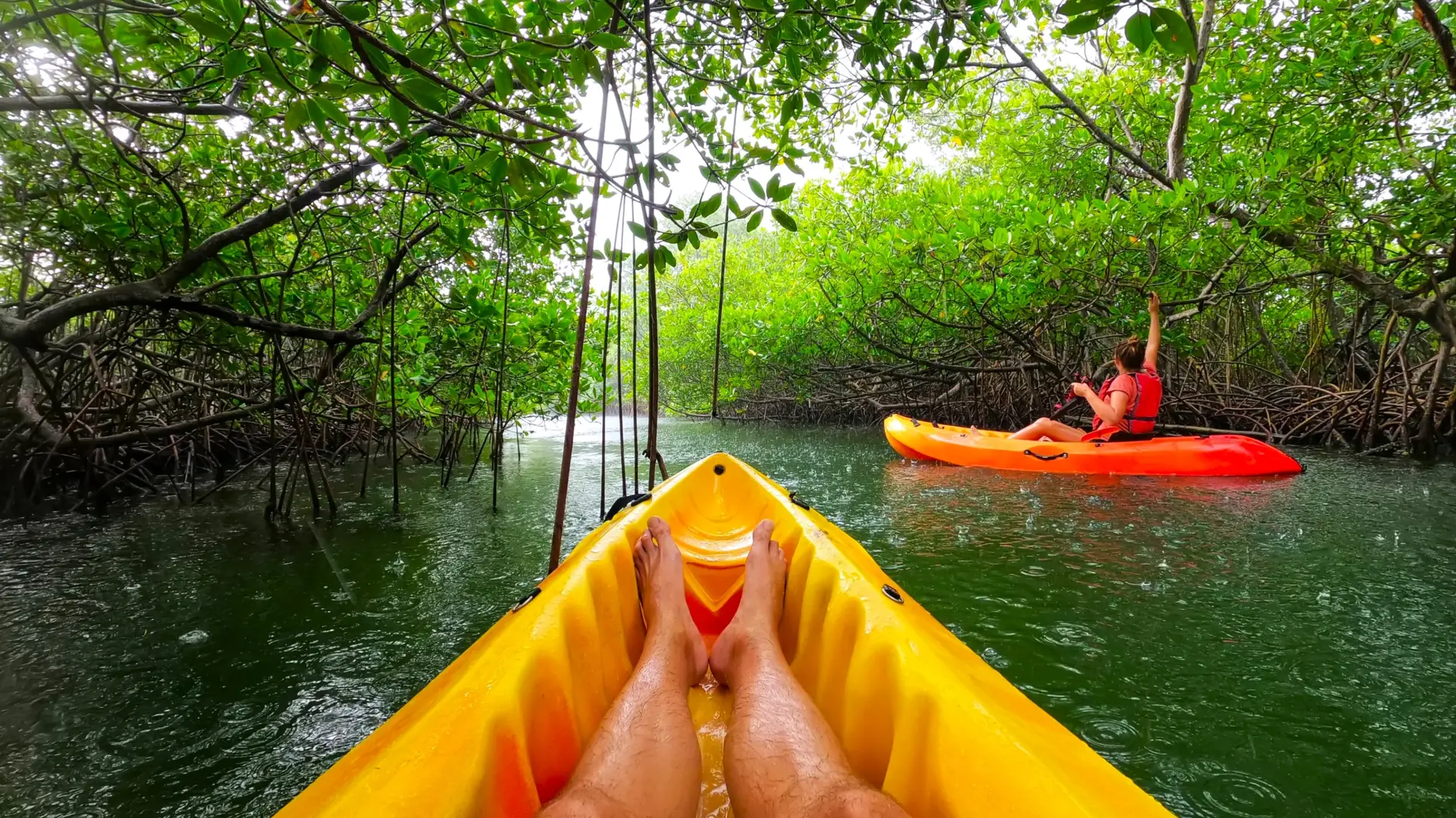
Activities & Adventure
Trek, kayak, escalade, sports outdoor
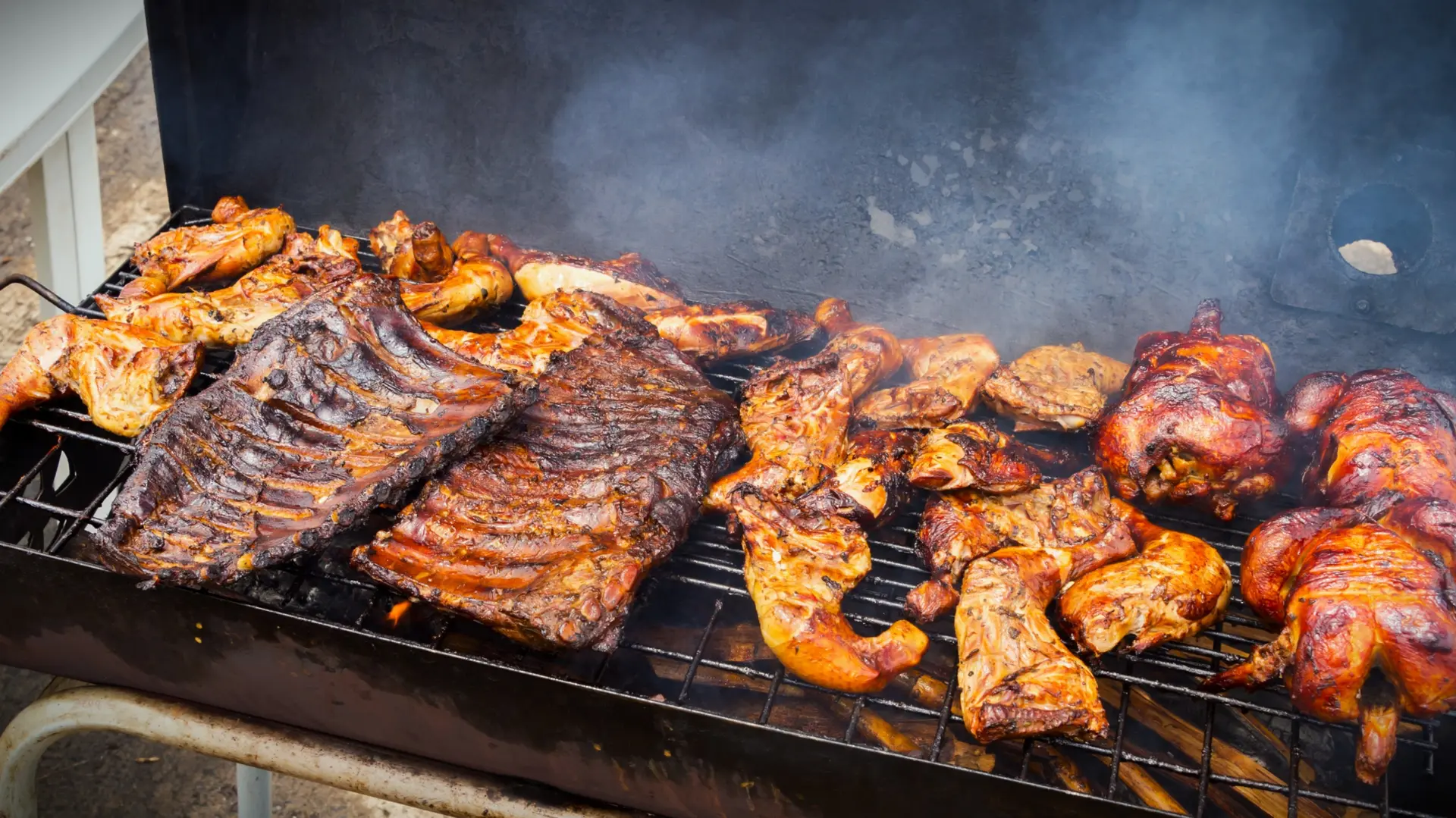
Gastronomy
Cuisine locale, marchés, cours de cuisine
We use cookies to improve your experience and measure our site's audience. You can choose what you accept. Learn more.